Professional Mapping Solutions for Communities, Properties and Infrastructure
Advanced Mapping provides GIS, GPS and drone mapping services for homeowners associations, property managers, municipalities, contractors and businesses throughout Southern California.
Our services include:
- HOA and community maps
- Site plans and emergency response maps
- Event and operations maps
- Street light and asset inventories
- Utility mapping
- GIS analysis and data conversion
- Drone mapping services
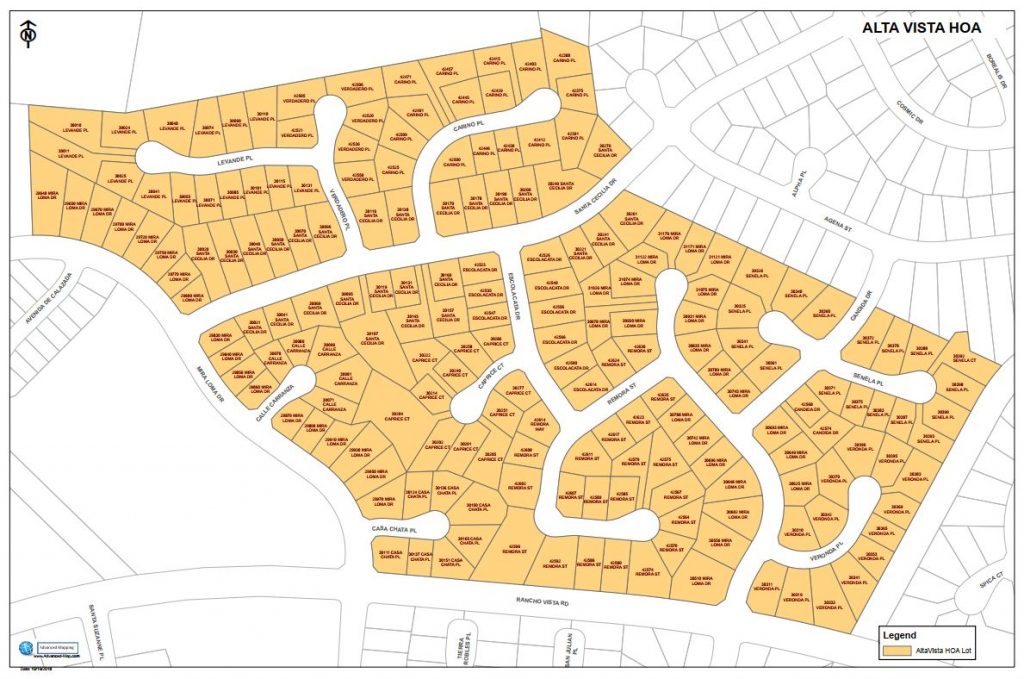
Community and HOA Maps
*HOA boundaries
*Lot lines and addresses
*Mailbox locations
*Trails and parks
*Gates and access points
*Common areas and amenities
*Emergency access maps
*Large format wall maps for board meetings and management offices
Learn More –> Community and HOA Maps

Site Plans and Facility Maps
*Schools
*Commercial properties
*Business parks
*Emergency response maps
*Utility shutoff maps
*Campus maps
Learn More –> Site Plans and Facility Maps
Event Maps
*Festivals
*Sporting events
*Parking plans
*Vendor locations
*Traffic circulation
*Emergency access routes
Learn More → Event Maps

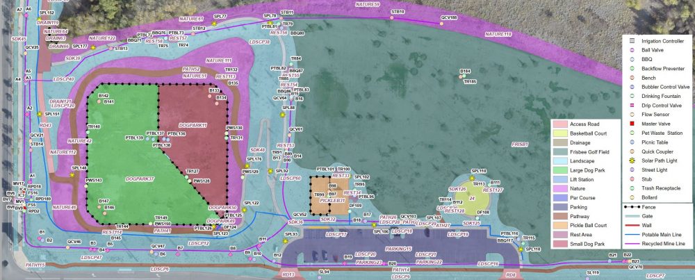
Street Lights and Asset Inventories
*Street Lights
*Fire hydrants
*Mailbox clusters
*Gates
*Monument signs
*Irrigation infrastructure
Learn More –> Street Lights and Asset Inventories
GIS Data Conversion and Analysis
*CAD to GIS conversion
*Parcel analysis
*Assessment districts
*Spatial analysis
Learn More –>GIS Data Conversion and Analysis

Drone Services
*Aerial imagery
*Orthomosaics
*Construction progress
*Landscape measurement
Learn More –> Drone Services
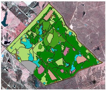
Landscape measurement
Accurately measure landscape areas and capture details like vegetation type, sqft, meter location, irrigation controller location….
Learn More → Landscape Measurement
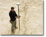
Utilities mapping (GPS)
We capture utility locate markings and infrastructure features using professional GPS equipment. Deliverables can include GIS, CAD, Google Earth/KMZ and PDF maps. Accurate utility mapping helps property owners, contractors and agencies preserve records, plan future projects and reduce the risk of utility conflicts.
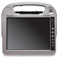
Field mapping solutions
Implementing a field computing solution can be challenging. However, our experience can make your implementation a success. If you are considering deploying GIS in the field , or need help deciding the best GPS solution for your needs, please give us a call.
Learn More →Field mapping solutions
GIS training and support
We can provide GIS/GPS/CAD training as well as assist with configuring and deployment of GIS/GPS/CAD projects
Why choose Advanced Mapping?
- 20+ years GIS and GPS experience
- Professional GNSS equipment
- FAA Part 107 certified
- ArcGIS expertise
- Southern California based
- Small business responsiveness
Need a map, inventory or GIS dataset for your property or community? Contact Advanced Mapping to discuss your project.