Why Advanced Mapping?
Professional Mapping. Practical Solutions.
A good map should do more than look professional. It should make information easier to understand, help people find what they need and provide a useful resource for planning, communication and day-to-day operations.
Advanced Mapping combines GIS expertise, professional mapping experience and modern geospatial technology to create maps and data products tailored to the needs of each client.
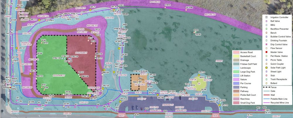
Whether you need a community map for an HOA, a site or event map, an inventory of street lights and other assets, or accurate utility mapping, our goal is the same: deliver clear, accurate and useful information in a format that works for you.
Mapping Solutions Built Around Your Needs
Every mapping project is different. Some projects can be completed efficiently using existing GIS data, aerial imagery, plans and other available information. Others require GPS field collection, drone imagery or a combination of multiple data sources.
We select the appropriate approach for each project rather than applying the same process to every job. This allows us to provide practical solutions while controlling project costs and turnaround time.
Our mapping experience includes:
- Community and HOA maps
- Site plans and facility maps
- Event maps
- Street light, hydrant and asset inventories
- Utility mapping
- Landscape measurement and mapping
- GIS data conversion and analysis
- GPS data collection
- Drone mapping and aerial imagery
Accuracy Where Accuracy Matters
Different mapping projects require different levels of positional accuracy.
A community or event map may be created primarily from existing parcel data, imagery and other reliable sources, while underground utility mapping may require precise field measurements.
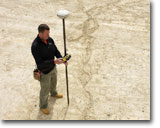
Advanced Mapping uses professional GIS software and high-accuracy GNSS/GPS equipment when the project requires it. By matching the mapping method and accuracy level to the intended use of the finished product, we avoid unnecessary field work while maintaining the quality the project requires.
GIS, GPS and Drone Capabilities Under One Roof
Our capabilities extend beyond producing a finished map.
We can work with existing GIS data, CAD drawings, aerial imagery and paper plans; collect new information with professional GPS equipment; acquire aerial imagery using FAA Part 107 drone operations; and combine those sources into a finished GIS database or professional map.
Having these capabilities available within one company allows us to choose the most efficient combination of tools for each project.
A Small Business With Personal Service
Advanced Mapping is a small mapping company, which means you work directly with the people completing your project.
We take the time to understand how the finished map will actually be used and tailor the project accordingly. Changes and questions can be handled directly without layers of project management.
Quick turnaround, integrity, attention to detail and quality work remain at the core of every project we undertake.
Have a Mapping Project in Mind?
Not sure exactly what type of map or data you need? That’s okay.
Tell us what you are trying to accomplish, what information you already have and how you plan to use the finished product. We can help determine the most practical mapping approach for your project.
Contact Advanced Mapping to discuss your project.